Lee’s Ferry, AZ
Posted by Van on Wednesday Apr 6, 2011 Under TravelsSaturday, April 2, we left Grand Canyon National Park and made our way northeast toward the Navajo Nation. We drove through the painted desert, which was stunning. We drove along the Echo Cliffs, then back to the upper end of the Grand Canyon along the Vermillion Cliffs. All, stunning.
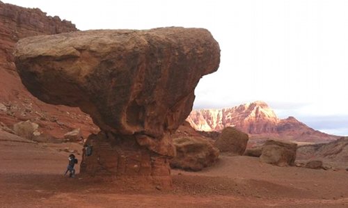
We crossed the Colorado River at Navajo bridge, a mere 450 feet above the river (compared to the 5000+ feet drop at the Nation Park center). On the north side of the river was the “balanced rock.” Look closely, and you will see Stella, Ellie, and Ana at its base in the photo below:
We made our way upriver to Lee’s Ferry, which is effectively the mouth of the Grand Canyon and the only place you can drive to the river. There were a couple of rafting companies preparing for the trek through the canyon; it was impressive to see how much gear and provisions they were packing into the rafts for the 18-day journey downriver.
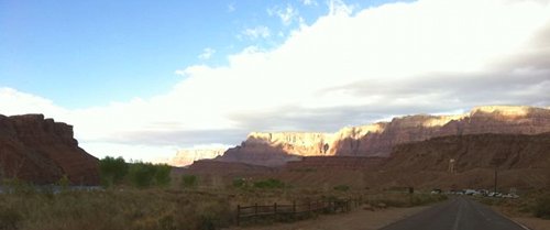
We camped in the state park there, alongside the river. In the picture below, you can see the Colorado River left of the trees on the left and our campground at the end of the road to the right. The Vermillion Cliffs are in the distant background.
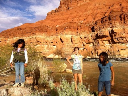
As one might expect, the Colorado River was icy cold in early April. Cold, fast, and beautiful.
3 Responses to “Lee’s Ferry, AZ”
Leave a Reply
You must be logged in to post a comment.


April 7th, 2011 at 10:28 am
is ther really 3 of you there?????
I want to go theererrererererreer!!!!!!!
April 20th, 2011 at 11:04 am
Hey Brynn! Yeah, we’re all there, under that huge rock. It was pretty cool.
April 7th, 2011 at 10:29 am
please update your map!!!!!!